Cartography & GIS
The Cartographic Section of the LGS prepares maps and geographic information systems (GIS) data for LGS and other LSU research departments. It also produces map products under direct contract from other government agencies, traditional printed maps and GIS products, and technical illustrations for scientific publications/presentations utilizing graphic design and image processing software. The cartographic staff works closely with technical editors in the preparation of scientific publications ranging from simple reports to books and atlases utilizing the latest electronic publishing and pre-press software. Over the years, the section has been awarded numerous awards for their cartographic products. Please refer to the Maps and Atlases page to view the maps.
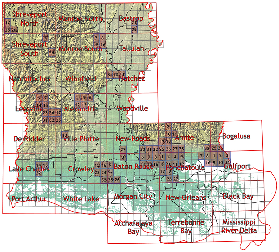
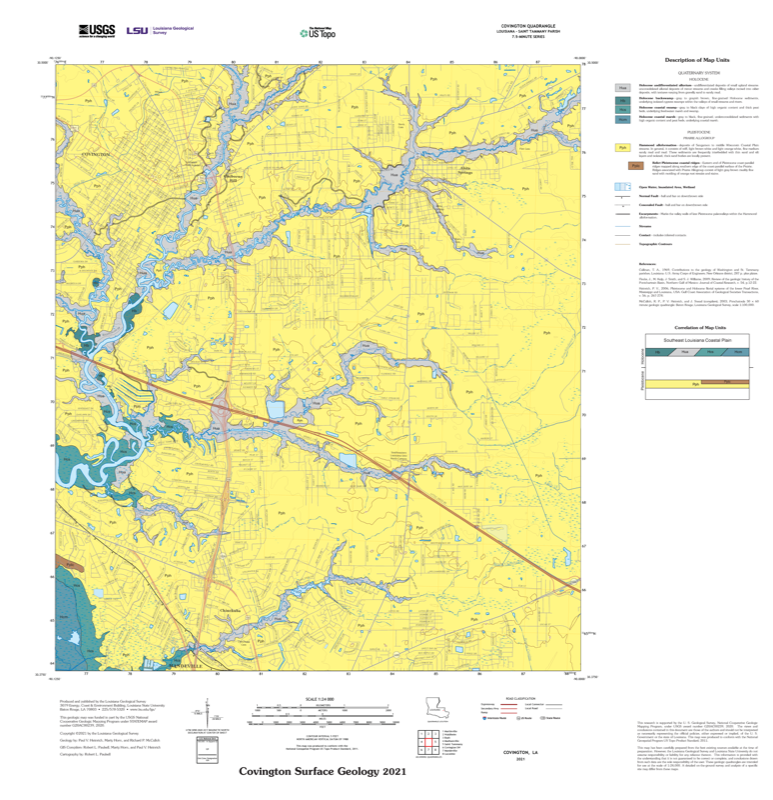
24K Maps
Explore Louisiana surface geology maps at multiple scales, including 30 × 60 minute and 7.5 minute quadrangles.
100K Maps
Access published maps, geologic reports, and field studies from LGS mapping projects spanning Louisiana.